Free · No sign-up · Lower 48 US
How much rain fell at your place?
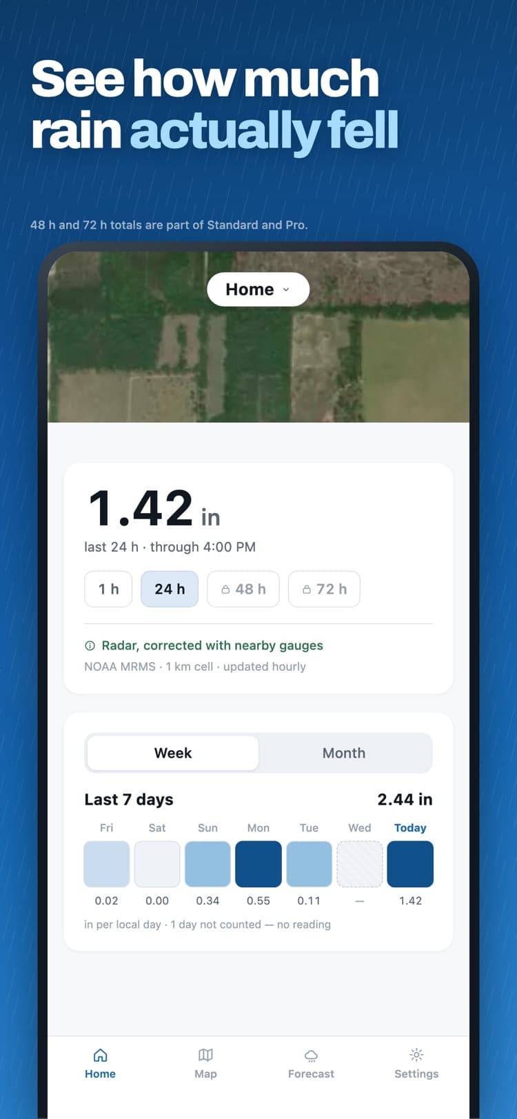
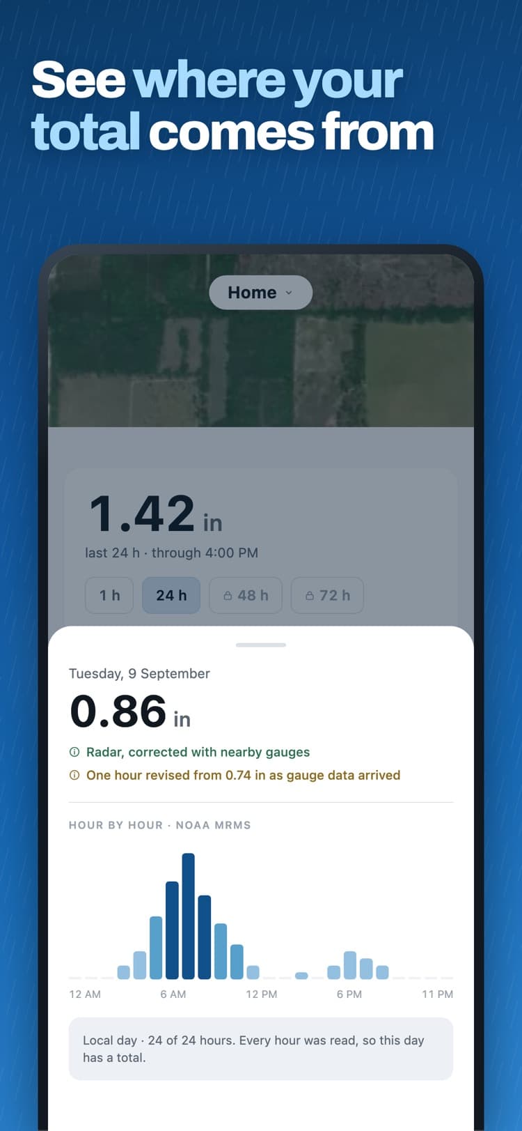
Enter a ZIP code or a city. You get the last 24 hours of rain from NOAA radar, corrected against rain gauges, for the 1 km cell that spot sits in.
What the app shows
Your kilometre, not your city
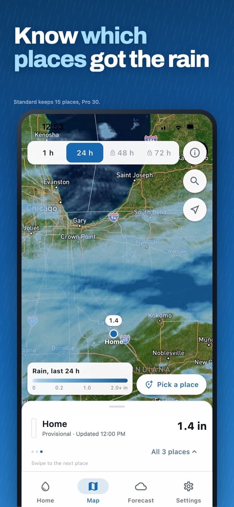
Rainfall is read for the 1 km cell your place sits in, not averaged across a whole town. Fields a mile apart often fall in different cells, and Raindex shows each one separately.
History that stays put
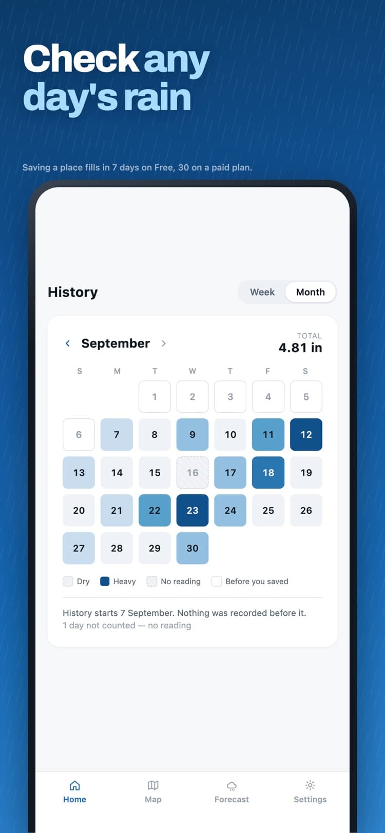
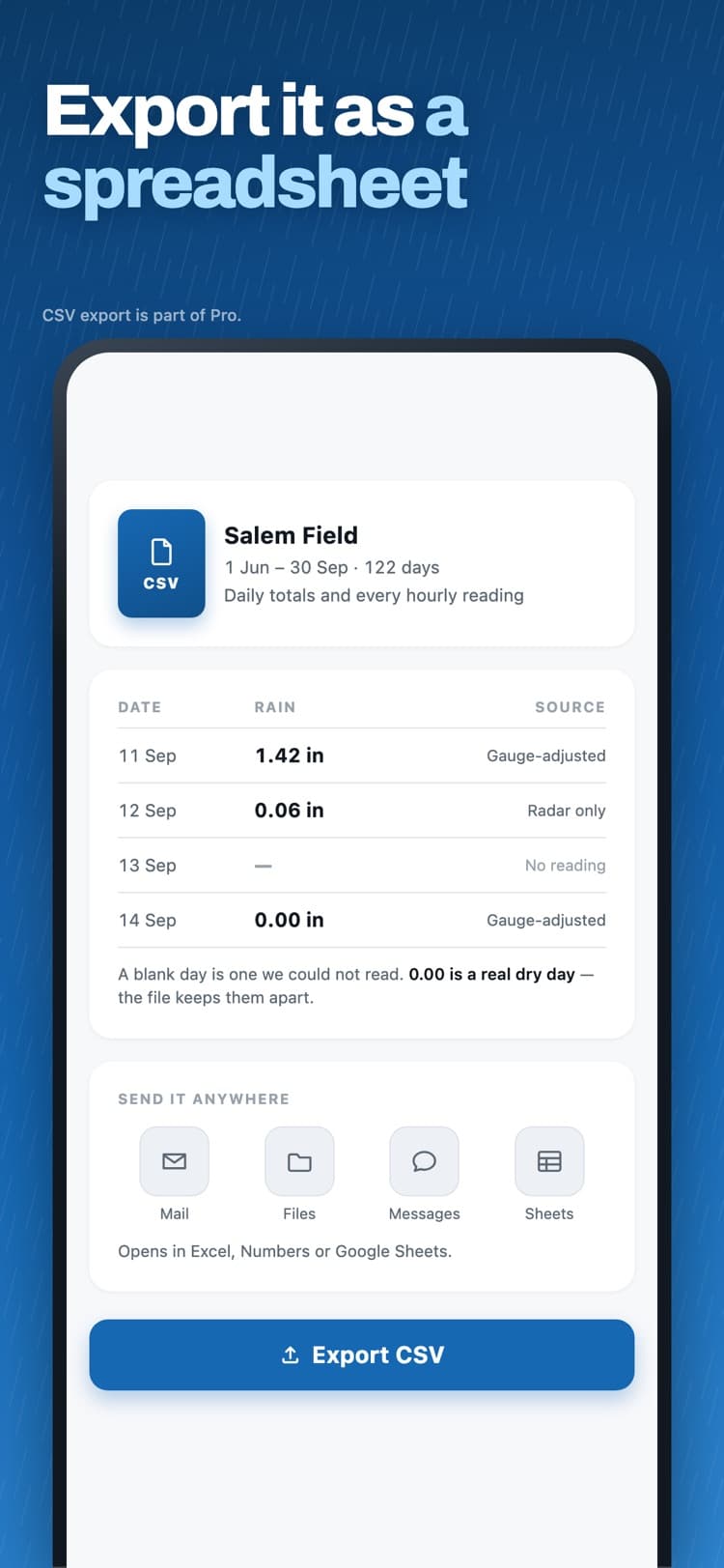
A day-by-day calendar going back to when you added the place. A missing hour shows as missing, never as zero, so an outage can never masquerade as a dry day.
Told what it can't know
Every reading is labelled gauge-adjusted, radar only, or provisional. No accuracy score, because a radar estimate cannot honestly support one.
Why your rain gauge and a rainfall app disagree
It is the most common complaint in this whole category, and it usually is not a bug. Weather radar estimates rainfall from a beam passing hundreds of metres above your property; a gauge catches what lands in a funnel a few inches across. Rainfall varies inside a single kilometre. Gauges under-catch in wind. And the gauge-corrected figure arrives about an hour and a half after the rain does, so an early number is revised.
Most apps in this category answer that question in a support FAQ, if at all. Raindex answers it on the reading itself.
Free to download, and what the plans add
Free
Free
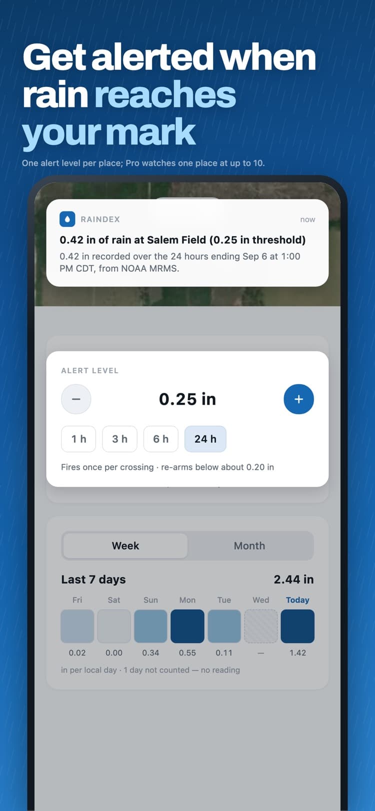
1 place, 1- and 24-hour totals, 7 days of history filled in on saving, threshold alerts and NWS flood notices.
Standard
$4.99/mo or $19.99/yr
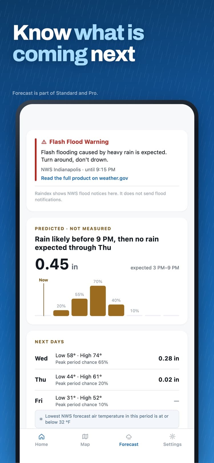
15 places, every time window from 1 to 72 hours, 30 days of history filled in on saving, and the rain outlook.
Pro
$9.99/mo or $39.99/yr
30 places, up to 10 alert levels per place, and CSV export.
7-day free trial on yearly plans for eligible new subscribers. US prices as listed on the App Store on 2026-09-29; the listing is authoritative.
Where these numbers come from
- What Raindex measures
- Raindex measures observed rainfall from NOAA’s Multi-Radar Multi-Sensor system (MRMS) at roughly 1 km resolution, combining radar estimates with rain-gauge adjustment. The gauge-corrected pass runs about 97 minutes behind real time, so a recent total can be revised upward or downward as gauge data arrives.
- What neither one can tell you
- A 30-year average says nothing about this week. A radar estimate is still an estimate: it can disagree with the gauge in your yard because of terrain, the height of the radar beam over your property, how rainfall varies within a single kilometre, and the fact that a gauge itself under-catches in wind. Raindex labels each reading gauge-adjusted, radar only or provisional so you can see which you are looking at. It does not publish an accuracy percentage, because that is not a number this data can honestly support.
Measure the rain where it matters to you
Save a location and Raindex keeps its rainfall history from that day forward.